

Fire in Lenapehoking: Rethinking the "Natural" Forest of the Delaware Valley

Updated: 1 day ago

Brandywine Forest Field Notes
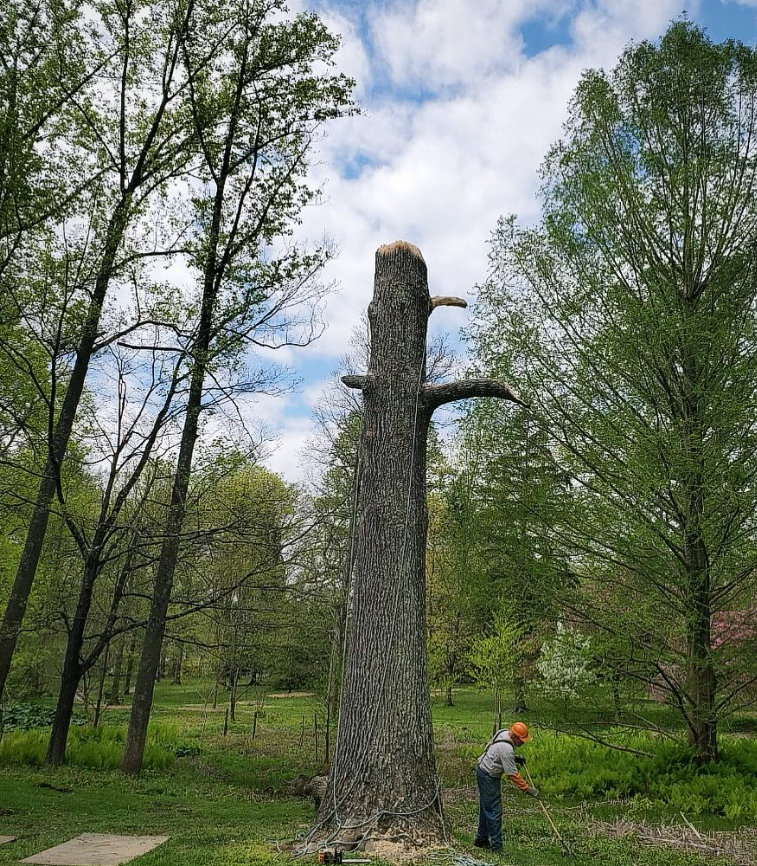
An old oak stands on a dry slope above a Chester County stream, its lower limbs long gone, its bark thick and fire-blackened at the base by nothing more recent than lightning or a long-ago brush pile. A woodland nearby has an oddly open understory, a scattering of warm-season grasses at its edge, a meadow that seems to resist the forest's advance. It is easy to read scenes like this as untouched — a wilderness that existed in some pure, static form until European settlement arrived and disturbed it.
That reading leaves out the people who were already here. Long before colonization, this was Lenapehoking: the homeland of the Lenape, spanning eastern Pennsylvania, New Jersey, and southern New York, with communities and travel connections reaching into the wider Delaware and lower Hudson River watersheds (Bruchac, "Mapping Lenapehoking," Dispossessions in the Americas, University of Pennsylvania). Lenape communities lived along the Schuylkill, the Brandywine's larger neighbor to the east, and along the many creeks feeding the Delaware, in village sites documented archaeologically for centuries before Swedish, Dutch, and English colonists arrived (University of Pennsylvania Collaborative History); the same present-day region is affirmed by the Lenape Nation of Pennsylvania as Lenape homeland for over ten thousand years (Lenape Nation of Pennsylvania).
The Delaware Valley forest was never "natural" in the sense of existing apart from people. The more useful question is how Lenape communities related to, moved through, harvested from, and in some places actively shaped the land, and what that history can, and cannot, tell foresters and land managers today.
Fire as one land-use tool, among several
Fire was one way Lenape people interacted with the landscape, though the evidence points to purposeful, situational use rather than a landscape-wide burning regime. Contact-era European observers left some of the clearest direct evidence. Along the Delaware River in the 1650s, the Swedish engineer Peter Lindeström recorded that Delaware Indians set fire to grasses in spring and autumn to conduct surround hunts, driving deer toward waiting hunters (Lindeström, cited in Intertribal Timber Council fire-use bibliography). Later eighteenth-century missionary accounts describe Delaware and Iroquois communities burning in spring and fall, and Delaware use of fire for hunting and improving grazing conditions as far as southern Ontario, where some Lenape communities eventually relocated (Intertribal Timber Council fire-use bibliography).
These accounts describe fire used for a specific purpose — moving game, maintaining visibility, clearing brush near a village — rather than a uniform, landscape-scale prescription applied on a fixed schedule. One frequently cited historical review of Northeastern fire use, by ecologist Emily Russell, found no strong evidence that Indigenous communities purposely burned large tracts of forest, but did report burning of smaller areas near habitation sites (summarized in the Intertribal Timber Council bibliography). That distinction matters. It suggests a landscape shaped by many small, deliberate, repeated fires concentrated around places people used often — trails, hunting grounds, field edges, and village surroundings — rather than one shaped by broadcast burning across the whole of Lenapehoking.
Agriculture, villages, and a patchwork landscape
Fire did not act alone. Lenape communities across Lenapehoking grew maize, beans, and squash, and archaeological work at sites such as Manna, a Late Woodland Lenape farmstead on a Delaware River terrace in the Upper Delaware Valley, has recovered hearths, firepits, and evidence of Eastern Agricultural Complex crops alongside maize — direct evidence of sustained cultivation and plant processing at Lenape village sites well before European contact (Reamer, American Antiquity, Manna site study).
Fields, fallows, trails, and gathering areas around villages like these would have created openings, edges, and successional habitat that a closed-canopy-only forest model does not account for. A recent study comparing forest composition near documented Native American village sites in southern New England to more distant forest found a measurably higher proportion of fire-tolerant, mast-producing trees close to settlements — oak and hickory among them — and concluded that "Native Americans did, indeed, extensively use fire and other disturbances such as land clearing for villages, agriculture and trails, and both directly and indirectly promoted fire-adapted trees," which in turn produced the acorns and nuts that were important to Indigenous diets and to the game animals people hunted (Tulowiecki, Hanberry, and Abrams, Land). The pattern was strongest near settlements and weaker farther away — more evidence for a patchwork of influence radiating outward from places people lived, rather than a single uniform effect across the region.
Separating evidence from inference
Two mistakes are easy to make here: denying Indigenous influence on the landscape altogether, or overstating exactly what that influence was at any one site. The evidence supports a position between those extremes. There is strong reason to reject the old idea that eastern forests were untouched wilderness, and much weaker grounds for stating the exact fire frequency, season, or extent at a specific place like the Brandywine watershed in a specific century.
Evidence category | What it can support | What it cannot establish alone |
Contact-era written accounts | That Lenape and neighboring communities intentionally used fire for hunting, land clearing, and seasonal burning in specific documented instances | A precise, site-specific burn interval for an unstudied local forest |
Archaeology and settlement data (e.g., the Manna site) | Long-term Lenape occupation, cultivation, and use of specific river-valley sites | The exact extent or frequency of fire at a site without its own charcoal or fire-scar record |
Charcoal and fire-scar records | Regional evidence of past burning activity and change through time | Attribution of any single fire event to human ignition versus lightning, or identification of who set it |
Comparative vegetation studies (e.g., southern New England village-proximity study) | Broad correlations between Indigenous settlement and fire-adapted tree abundance | A universal rule that every oak stand near water or a former clearing was actively burned |
Lenape cultural knowledge and continuity | Context, values, and lived relationship to land that written colonial records cannot supply | A substitute for site-specific ecological investigation — though it should inform how that investigation is framed |
Pennsylvania's own wildfire-history research reflects the same caution: "the relative roles of lightning and Native American fire remain unknown," and the fire-scar data that do exist come from a limited number of sites that cannot support landscape-scale conclusions, even within a single ecoregion (Pennsylvania DCNR wildfire history report). That caution doesn't discount Indigenous fire's role in the region. It's a reason to keep local claims proportional to local evidence.
What this means for oak forests today
The connection to present-day forestry is direct. Oak-dominated forest and woodland once covered an estimated 40 to 70 percent of the central and eastern United States, typically with an open canopy, sparse midstory, and a species-rich herbaceous understory maintained by periodic low- to moderate-intensity fire — the basis of what foresters call the fire-oak hypothesis (Alexander et al., "Mesophication of Oak Landscapes," BioScience). In Pennsylvania today, oak-dominated communities still make up roughly 56 percent of classified forest on state forest and game lands, and as much as 74 percent of forest cover in the Central Appalachian ecoregion (Pennsylvania DCNR wildfire history report). Fire exclusion beginning in earnest in the early twentieth century is widely cited as a major driver of the shift many of these forests are now undergoing — toward denser, more shade-tolerant species such as red maple and black birch, a process ecologists call mesophication (Alexander et al., BioScience).
A modern prescribed burn does not recreate Lenape land use, and not every Chester County woodland needs to be lit on a fixed schedule. But the fire-free, closed-canopy condition many landowners now think of as the forest's natural baseline is itself a fairly recent, post-exclusion artifact, not a return to some older, undisturbed state. Restoring oak regeneration, understory diversity, or fire-adapted habitat structure in the Delaware Valley has to start from an honest baseline: this was a lived-in, actively used landscape long before it was a fire-suppressed one. The appropriate use of fire today should be evaluated site by site, against current fuels, invasive-plant pressure, deer browse, canopy density, smoke-sensitive neighbors, and monitoring capacity, not against an assumed historical burn interval.
A landscape that was never empty
The lesson from Lenape fire stewardship isn't that every woodland should burn, or that fire alone explains the forests we see today. Land-management decisions should start with humility about what came before. The Delaware Valley has never been ecologically static, and it was never culturally empty. It was Lenapehoking: a homeland shaped by villages, fields, hunting grounds, and, in specific and purposeful ways, fire.
The Lenape are not solely a historical subject. The Lenape Nation of Pennsylvania, based in Easton, describes present-day Pennsylvania as Lenape homeland for over ten thousand years and continues work in cultural, historical, and environmental preservation and education (Lenape Nation of Pennsylvania). Where prescribed fire or other restoration tools are considered in the Brandywine watershed and beyond, that work is strongest when it is grounded in careful, site-specific ecological assessment and open to meaningful engagement with the Lenape communities whose homelands include the places being managed — not as a historical footnote, but as an ongoing relationship with the land that predates, and outlasts, any single restoration project.
Sources
Bruchac, Margaret. "Mapping Lenapehoking." Dispossessions in the Americas, University of Pennsylvania. Accessed September 2026. https://dia.upenn.edu/en/content/BruchacM002/
Licht, Walter, Mark Frazier Lloyd, J. M. Duffin, and Mary D. McConaghy. "The Original People and Their Land: The Lenape, Pre-History–18th Century." Collaborative History, University of Pennsylvania Graduate School of Education. Accessed September 2026. https://collaborativehistory.gse.upenn.edu/stories/original-people-and-their-land-lenape-pre-history-18th-century
Williams, Gerald W. References on the American Indian Use of Fire in Ecosystems. Washington, D.C.: USDA Forest Service, June 12, 2003. https://www.itcnet.org/file_download/5d76d377-8025-4780-8511-4dc8d0596e45
Reamer, Justin M. "Evidence for the Eastern Agricultural Complex Crops in the Upper Delaware Valley: Botanical Analysis from the Manna Site (36Pi4)." American Antiquity 89, no. 3 (2024): 512–526. https://www.cambridge.org/core/journals/american-antiquity/article/evidence-for-the-eastern-agricultural-complex-crops-in-the-upper-delaware-valley-botanical-analysis-from-the-manna-site-36pi4/87243CAE0D8BB2174D51C8F981E121B0
Tulowiecki, Stephen J., Brice B. Hanberry, and Marc D. Abrams. "Spatial and Temporal Pervasiveness of Indigenous Settlement in Oak Landscapes of Southern New England, US, during the Late Holocene." Land 14, no. 3 (2025): article 525. https://doi.org/10.3390/land14030525
Alexander, Heather D., Courtney M. Siegert, J. Stephen Brewer, Jesse K. Kreye, Marcus A. Lashley, Jennifer K. McDaniel, Alison K. Paulson, Heidi J. Renninger, and J. Morgan Varner. "Mesophication of Oak Landscapes: Evidence, Knowledge Gaps, and Future Research." BioScience 71, no. 5 (2021): 531–542. https://doi.org/10.1093/biosci/biaa169
Hnatkovich, Adam, Ephraim Zimmerman, and Scott Bearer. Using the History of Pennsylvania Wildfire to Inform Landscape Level Prescribed Burn Planning. Final report to the Pennsylvania Department of Conservation and Natural Resources, Wild Resource Conservation Program, Grant
Agreement #WRCP-13492. The Nature Conservancy and Pennsylvania Natural Heritage Program, Western Pennsylvania Conservancy, June 30, 2015. https://research.dcnr.pa.gov/GetPDF.ashx?1173+R
Lenape Nation of Pennsylvania. "About the Lenape Nation of Pennsylvania." Accessed September 2026. https://lenape-nation.org/


Comments